Geodetic Engineer
Dempsey Resource Management Inc.
وصف الوظيفة
- Performs land surveys to establish boundaries, elevations and topographical features.
- Uses geodetic equipment including GPS to collect and analyze survey data.
- Conducts boundary surveys, land mapping and land title surveys to determine property boundaries and prepare legal documents.
- Gather, analyze and interpret geospatial data to produce accurate maps and reports.
- Utilizes software such as GIS, AutoCAD and other mapping tools to design and develop survey results.
- Utilizes software such as GIS, AutoCAD and other mapping tools to design and develop survey results.
- Ensures that all surveying work adheres to relevant industry standards, local regulations and quality control procedures.
- Troubleshoots and resolve discrepancies in survey data and provide solutions for project-related challenges.
- Graduate of Bachelor of Science in Geodetic Engineer
- Knowledgeable in Microsoft office applications such as Powerpoint and Autocad.
- Must be trustworthy, patient and flexible.
- Good in oral and written communication.
Maria Palma
Talent Acquisition ManagerDempsey Resource Management Inc.
رد اليوم 0 مرات
موقع العمل
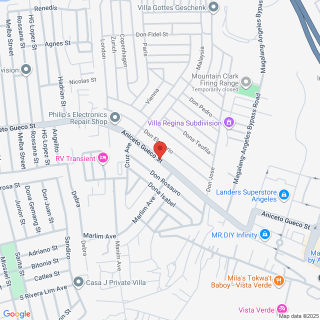
Pulung Maragul. Pulung Maragul, Angeles, Pampanga, Philippines

نشر بتاريخ 05 September 2025
استكشاف وظائف مماثلة
عرض المزيد من الوظائف المشابهةGeodetic Engineer/PRC Holder/2 years in Land Mapping & Surveyor
 Dempsey Resource Management Inc.
947-1.6Kر.س[شهريًا]
في الموقع - أنخيليس1-3 سنوات خبرةبكالوريوسدوام كامل

HR Vilma DempseyTalent Acquisition Manager
Geodetic Engineer
 Likas Yaman Service Corporation
1.3-1.6Kر.س[شهريًا]
في الموقع - بولاأكان1-3 سنوات خبرةبكالوريوسدوام كامل

nathan JonHR Officer
Geodetic Engineer
 Turfgrass Management, Inc.
947-1.3Kر.س[شهريًا]
في الموقع - بامبانجا<1 سنة خبرةبكالوريوسدوام كامل

Jocelyn DiamanteHR and Admin Supervisor
Geodetic Engineer
 CHMI Land Inc.
1.3-2.5Kر.س[شهريًا]
في الموقع - باتان1-3 سنوات خبرةبكالوريوسدوام كامل

Katelyn Joy MercadoHR Officer
Estimator / Project Coordinator / Tele-Sales Specialist
 Vogt's Hometown Roofing, LLC
قابل للتفاوض
في الموقع - أنخيليس1-3 سنوات خبرةبكالوريوسدوام كامل

John VogtCEO
سجل للدردشة مع المدير
تذكير أمان Bossjob
إذا كانت الوظيفة تتطلب العمل خارج البلاد، يرجى أن تكون متيقظًا وأن تحذر من الاحتيال.
إذا واجهت صاحب عمل قام بالإجراءات التالية أثناء بحثك عن وظيفة، يرجى الإبلاغ عنه فورًا
- يحجب هويتك،
- يتطلب منك تقديم ضمان أو يجمع ممتلكات،
- يجبرك على الاستثمار أو جمع الأموال،
- يجمع فوائد غير قانونية،
- أو حالات غير قانونية أخرى.